I just installed Nextcloud maps and also added a Mapbox API token, so the map itself displays fine.
Tracks
I can create routes inside the Maps app. But it took a while to realize how that works. Also the tracks features seems to be somewhat limited:
- You can not rename tracks you have created.
- If you rename the GPX file the app has created in the
Mapsfolder to a more sensible name likedaily-commute.gpxthe track does not appear any longer on the map and I don’t see any possibility to add it.
Eventually I realized, that the file must not be inside the Maps folder! This is really confusing. In fact only GPX files in the main folder will be displayed in the “My tracks” section on the left.
And then there is a menu item “Copy to map”:

What does this do? It opens a dialog “Choose directory of pictures to place”. Why “pictures”? What to pictures have to do with a single track?

Pictures
I have a many photos with geolocation. However none of them is displayed on the map.
In the menu for this item there is a context menu with “Say hi”, “Suggest photo locations” and “Clear photo cache”.

What are these menu commands used for?
I realized that “Say hi” just triggers a “Hi” popup message - ok, so what is this used for?
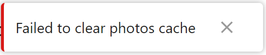
“Clear photo cache” just triggers an error message “Failed to clear photos cache”:
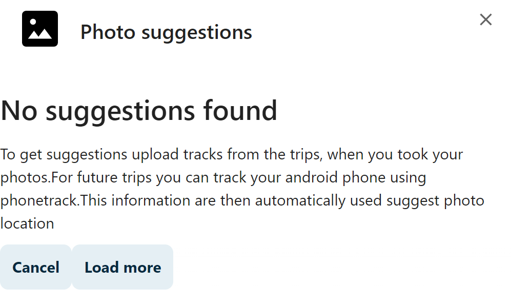
“Suggest photo locations” does not show anything at all - “No suggestions found”:
So what do I miss here?
It seems I don’t get it how to use that app. Is there any official documentation? The text at https://github.com/nextcloud/maps is not really helpful since it is just a quick overview, what the app is supposed to do but without any detailed instructions.